Our dynamic team is a formidable blend of geomaticians, survey engineering, and GIS experts. Committed to excellence, our experienced professionals bring a wealth of knowledge to the table, ensuring precision and accuracy in every project we undertake.
Together, this cohesive team embodies the synergy required to navigate the hurdles of geospatial projects, delivering results that surpass expectations with a commitment to innovation and efficiency.
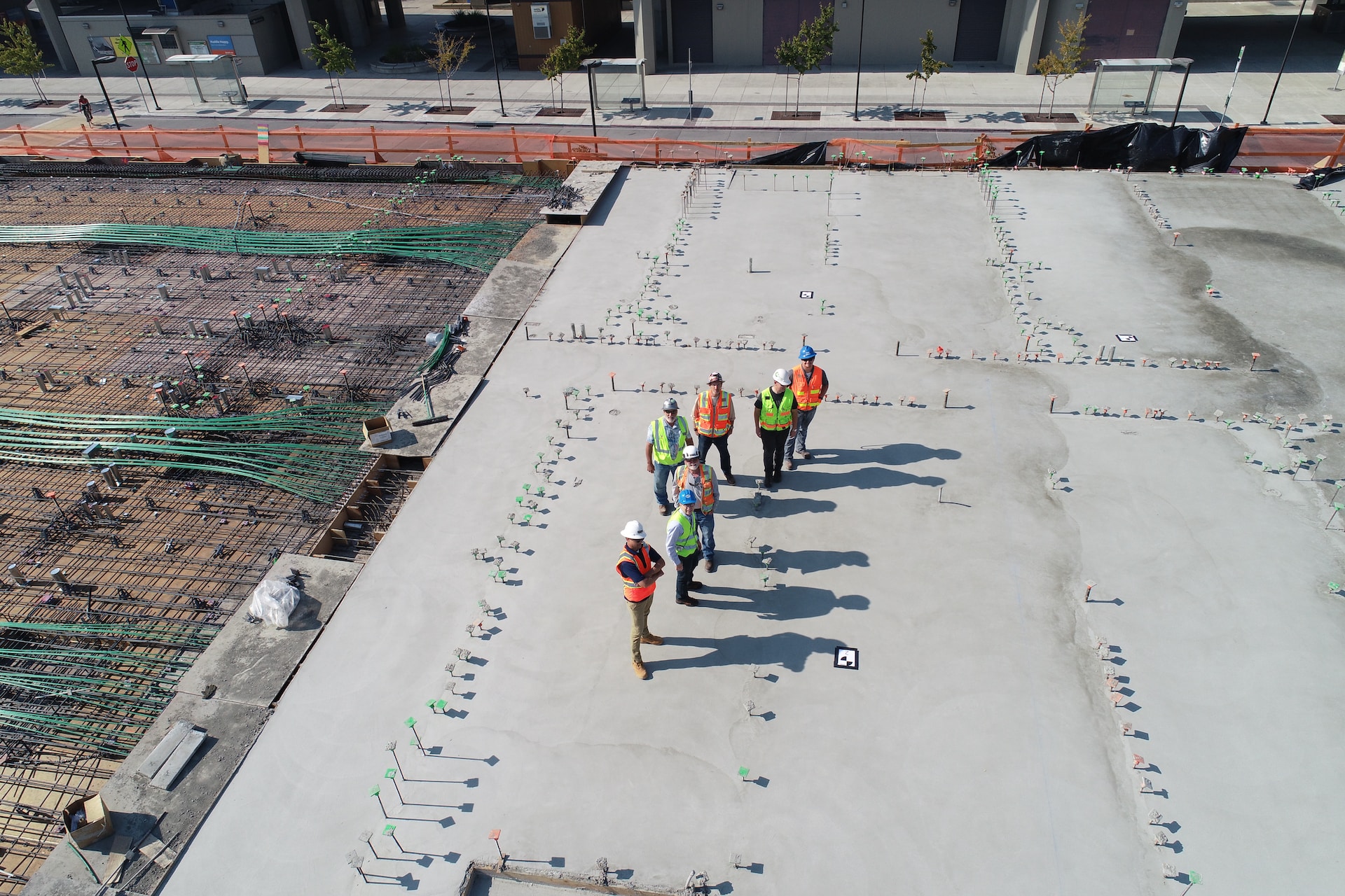
At SkyScan Solutions, our story is rooted in the vision of experienced geomatics and survey engineers who shared a deep passion for leveraging technology to transform the world of spatial intelligence. Founded by individuals with a wealth of expertise, our journey began with a commitment to precision and a desire to redefine the landscape of topography, geomatics, and surveys.
Fueled by our founders' unwavering enthusiasm for cutting-edge technologies, we embarked on a mission to revolutionize the industry. Over the years, we have evolved into a dynamic force, specializing not only in traditional survey methodologies but also pioneering advancements such as drone surveys, 3D modeling, and laser scanning.
Our dedication to excellence and sustainable practices remains at the core of everything we do. We promise Precision In Every Detail, ensuring that our work is characterized by meticulous accuracy. Furthermore, Integrity In Every Action defines our commitment to ethical practices, transparency, and unwavering honesty in all our endeavors.
Join us on this transformative journey as we shape the future, driven by the passion that ignited our company's inception.